Fiji's maritime strategy defines its focus areas but sets aside no money to deliver them
Fiji's first maritime security strategy knows where it must focus. It is far less certain how that focus will be paid for.

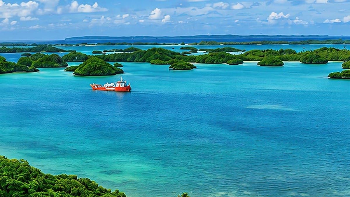
A maritime strategy for a small state with a large ocean faces two key challenges: acknowledging which waters cannot be monitored and finding the money to monitor those that can. Fiji's first National Maritime Security Strategy addresses the first challenge with notable candour but does not resolve the second.
The document, issued by the Ministry of Defence and Veterans Affairs under Minister Pio Tikoduadua, sets out seven pillars, three phases and a 10-year horizon. The United Nations Development Programme and the UK Government financed it, and its back cover credits two advisers with drafting: Captain John Fox (Ret.) and Professor Scott Woodruff Lyons. A validation workshop was held in Suva in May 2026; the published text carries no date.
It sits beneath the National Security Strategy 2025–2029, which named maritime security a national priority. Read against that parent document, the maritime strategy is the more interesting of the two, because it makes choices.
Choosing its waters
Section 1.3 contains the Strategy's most significant statement: Fiji will prioritise its internal waters, archipelagic waters, and 12-nautical-mile territorial sea, expanding to the 24-mile contiguous zone only as national capability develops.
The rationale is clear. According to the document, territorial seas (43,225 km²) and archipelagic waters (130,470 km²) total 173,695 km². Compared with an Exclusive Economic Zone of 1,282,878 km², this is about 13.5%, assuming the EEZ figure includes the inner zones, which the text does not specify.
Documenting this decision has political implications, as it highlights that 86% of the area falls outside the priority zone. The justification is practical: limited resources, infrastructure concentrated near shore, and transnational narcotics crime. Given Fiji's capacity, this decision is defensible, and the Strategy explicitly states that no rights are surrendered beyond this boundary.
A law ahead of its strategy
The Strategy's governance architecture depends on the Maritime Powers Act 2026, and here events overtook the drafting. Fiji's Parliament passed the Maritime Powers Bill 2026 unanimously on 29 September 2026, giving the Navy and authorised officers a single statutory basis to board, search, detain and seize suspect vessels.
The Strategy appears to have been drafted before and after the vote. Section 5.1 notes "the absence of the proposed Maritime Powers Act"; Pillar 1 treats the Act as law, then refers to "any future Maritime Powers Act" shortly after. The Act will commence by Gazette notice, and FPR could not confirm whether this notice had been published as of 28 October 2026.
A second legal gap is less apparent. Section 1.3 designates the territorial sea as "the principal area" for enforcement, while Pillar 3 directs operations to "the near-shore contiguous zone." Pillar 1 also commits Fiji to "formally declare" this contiguous zone. The Strategy prioritises a zone that has not yet been formally claimed.
The institutional design leans heavily on defence. The Defence Permanent Secretary chairs the new Maritime Senior Officials Committee, supported by a Secretariat within the defence ministry, and Pillar 1 proposes strengthening "the Navy's constabulary role." Tikoduadua has framed the case in operational terms: according to FBC, the Navy logged 293 sea days and 383 boardings between January and September 2026.
Given Fiji's history of military involvement in politics, the Navy's expanding police functions require careful oversight. The Act requires an annual report to Parliament on boardings, seizures, arrests, complaints, and use of force, a key safeguard the Strategy does not reference.
The unfunded mandate
The Strategy's most incisive assessment is also its main vulnerability. Section 2.3 identifies "unpredictable budget resources for maritime security activities" as a core issue, and chapter 6 calls for "the political will to allocate appropriate and predictable budgetary resources."
Section 7.7 states that the Strategy "does not establish a separate maritime security funding programme." Each agency is expected to incorporate approved actions into its existing budget proposals. The new committee may recommend joint submissions or donor approaches, but it has no implementation budget to allocate.
The 52-page document provides no cost estimates. The document defers financing pathways to an Implementation Programme, outlined in Annexes A to H, which is not included in the published Strategy. As a result, a strategy funded by two external partners identifies a budget issue, while the responsible agencies must address it internally.
The accountability framework further complicates the issue. Phase 1 has two actions that assign multiple agencies as leads, and responsibility for maritime cyber security shifts among Ports, Navy and Customs, the Police, and the Ministry of Policing and Communications, depending on the section. Most indicators measure outputs, such as exercises held or doctrine published, while the few outcome measures lack baselines. The Phase 2 fisheries indicator simply states, "Illegal fishing reduced."
The document contains inconsistencies in basic figures. It lists Fiji's search and rescue region as 3.6 million km² on page 15 and approximately 6.5 million km² in section 6.7; FPR cannot confirm which is accurate. The "$4+ billion" street value of drugs landed in Fiji lacks currency, timeframe, or source, and none of the "Year 1" deadlines is linked to specific calendar dates.
The view from the east
The cover photograph features Fulaga in the Lau Group, described as indicative of an eastern boundary of "isolated islands that are challenging to monitor and protect." However, the document does not mention Lau again. The Remote-Island Resilience Model in section 7.6 highlights only one island for special consideration: Rotuma.
This omission matters because the Strategy's own trafficking map points east. The map, sourced from OCCRP, shows cocaine and methamphetamine routed from the Americas through an at-sea transhipment zone around Tonga and the Cook Islands, to Fiji's south-east. Community surveillance, the Strategy's solution for remote coasts, is channelled chiefly through the Fiji Police Force's Solesolevaki Ni Veitaqomaki programme.
The Strategy does not mention qoliqoli, the customary fishing areas held by iTaukei communities in the coastal waters it now prioritises. However, the text does provide some opportunities. It commits to "expand and resource community maritime surveillance networks," to revive indigenous boat-building "as a security priority," and to connect maritime governance with provincial administrations.
The Strategy is similarly reserved regarding partners. It references "growing geopolitical competition in the Pacific" and "unsettled maritime borders" without specifying countries or boundaries. Australia is not mentioned, although the Strategy's operational hub bears the Vuvale name of the Australia–Fiji partnership and opened in Lami before the Strategy was completed. The Strategy refers to the Ocean of Peace vision but omits mention of the Vuvale Union or the Ocean of Peace Alliance signed in Suva on 6 July 2026.
FPR interprets this silence as intentional. A document funded by UNDP and the UK, and coordinated from an Australian-branded centre, may avoid categorising Fiji's partners for various reasons. As a result, readers cannot determine how the Strategy envisions external capabilities integrating into a national system whose listed gaps include "reliance on external partners for essential functions."
Sources
- Republic of Fiji, Ministry of Defence and Veterans Affairs, National Maritime Security Strategy (undated PDF, 52 pp.)
- Parliament of the Republic of Fiji, Maritime Powers Bill 2026 (Bill No. 35 of 2026)
- Fijivillage, Maritime Powers Bill passed to give authorities power to board, search and detain suspected ships
- Fiji Sun, New law allows Navy to disable suspect ships with gunfire
- FBC News, Maritime enforcement powers expanded (3 October 2026)
- Fiji One News, Fiji Advances Maritime Security Strategy (28 May 2026)
- PINA, National Security Strategy launch
- Fiji Times, Shipping Times: PM unveils plans for maritime strategy
- Australian Minister for Foreign Affairs, Australia and Fiji sign historic Vuvale Union and Ocean of Peace Alliance (6 July 2026)